


escandille charande 1709 m

mouss65
User
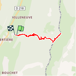

Length
8.1 km

Max alt
1715 m

Uphill gradient
610 m
Km-Effort
16.3 km

Min alt
1095 m

Downhill gradient
624 m
Boucle
Yes
Creation date :
2015-12-27 00:00:00.0
Updated on :
2015-12-27 00:00:00.0
2h21
Difficulty : Unknown

FREE GPS app for hiking
 SityTrail
IGN / Geographical institutes
SityTrail Plus
The world is yours!
About
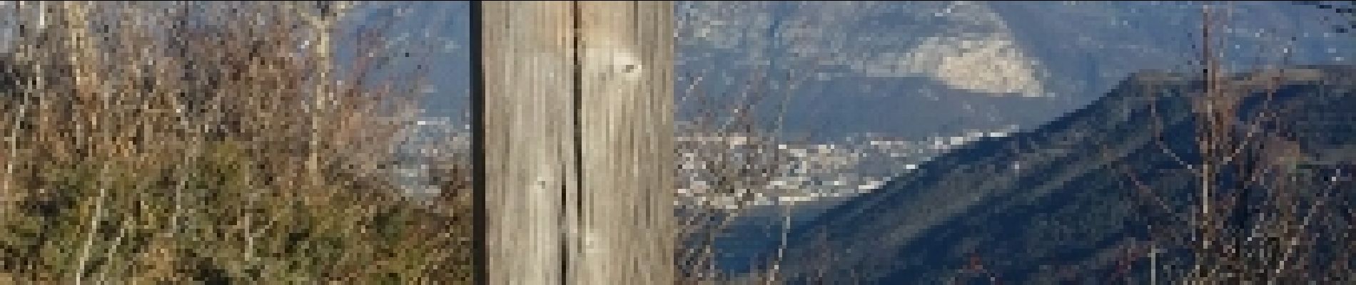
Trail Running of 8.1 km to be discovered at Auvergne-Rhône-Alpes, Isère, Autrans-Méaudre en Vercors. This trail is proposed by mouss65.
Photos


Positioning
Country:
France
Region :
Auvergne-Rhône-Alpes
Department/Province :
Isère
Municipality :
Autrans-Méaudre en Vercors
Location:
Autrans
Start:(Dec)
Start:(UTM)
701659 ; 5006806 (31T) N.
Comments